A History
/SusquehannaRiver.jpg)

| Main Page |
| Time Line |
| History |
| Indian Trails and Shamokin (7000 BC-1763 AD) |
| Fort Augusta (1756-1792) |
| Founding of Sunbury (1772-1830) |
| Railroad and Canal Era (1830-1912) |
| Contemporary (1912-present) |
| Maps |
| Indian Trails and Shamokin (7000 BC-1763 AD) |
| Fort Augusta (1756-1792) |
| Founding of Sunbury (1772-1830) |
| Railroad and Canal Era (1830-1912) |
| Contemporary (1912-present) |
| Special Topics |
| Related Links |
| Works Cited |
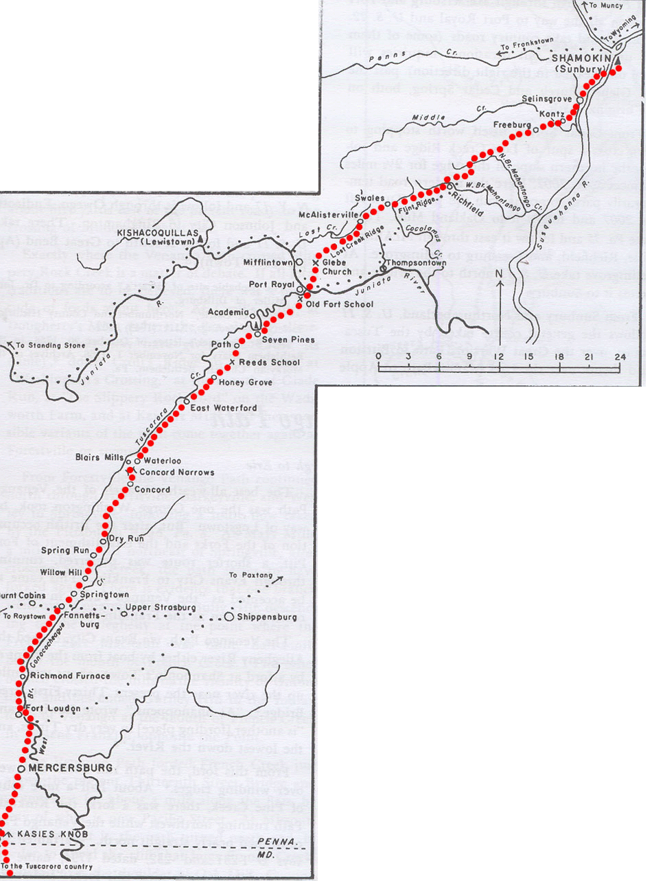
The Tuscarora Path |
||||||||
|
|
|||||||
|
|


The Bucknell Environmental Center ▪ 835 Fraternity Road ▪ Bucknell University ▪ Lewisburg ▪ PA 17837▪ (570) 577-1490