A History
/SusquehannaRiver.jpg)

| Main Page |
| Time Line |
| History |
| Indian Trails and Shamokin (7000 BC-1763 AD) |
| Fort Augusta (1756-1792) |
| Founding of Sunbury (1772-1830) |
| Railroad and Canal Era (1830-1912) |
| Contemporary (1912-present) |
| Maps |
| Indian Trails and Shamokin (7000 BC-1763 AD) |
| Fort Augusta (1756-1792) |
| Founding of Sunbury (1772-1830) |
| Railroad and Canal Era (1830-1912) |
| Contemporary (1912-present) |
| Special Topics |
| Related Links |
| Works Cited |
The Catawissa Path |
|||
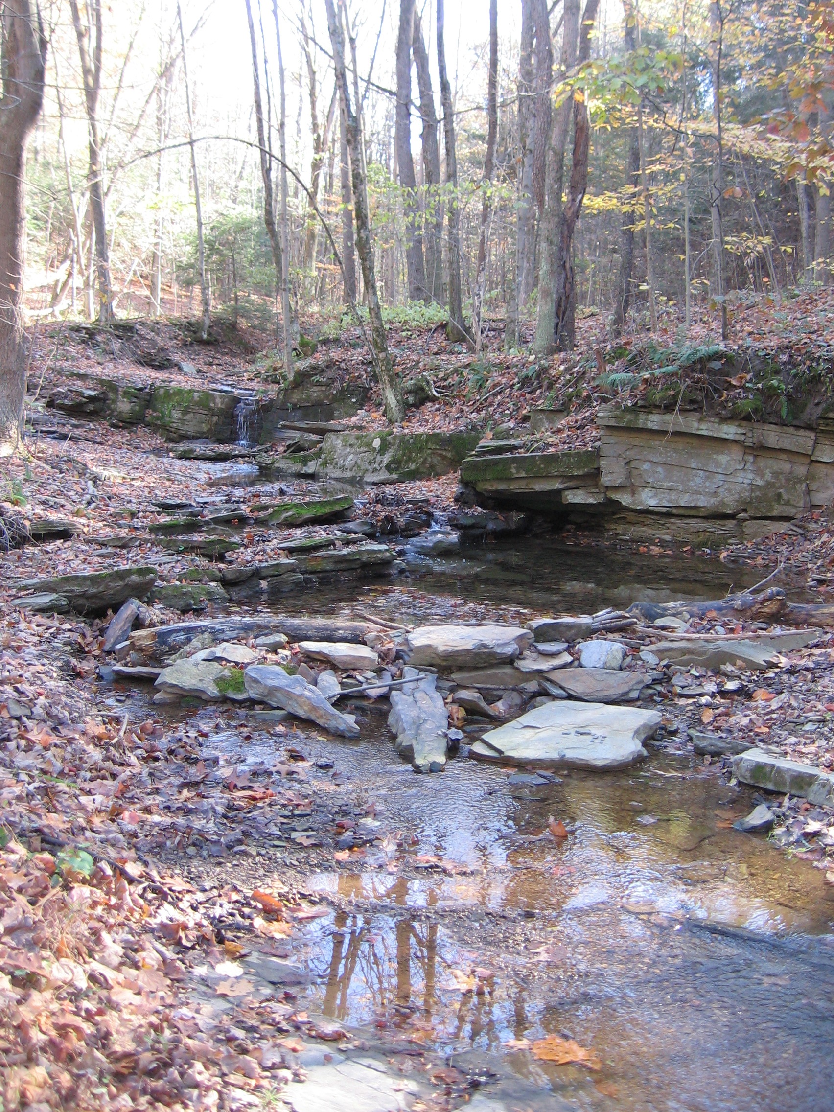
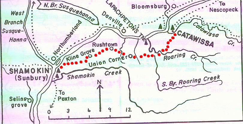
Named after the Indian town of Catawissa, which was situated at the mouth of the Catawissa Creek, the Catawissa path ran from Catawissa to Sunbury (then known as Shamokin). It was often used as a short cut from the Wyoming Valley (present day Wilkes Barre) to Shamokin. The path was also used by settlers who came in from the east, particularly a Presbyterian group who settled in Rush Township and a Methodist congregation traveling into the Augusta area south of Kline Grove. |
|
||
|
The Catawisssa Path is now followed by Pa. 42 south from Catawissa across the Catawissa Creek, S.R. 3003, Pa. 487, S.R. 2005 across Logan Run to Rushtown, S.R. 4004, S.R. 4006, and several other township roads. |
||
|
||
|
The Bucknell Environmental Center ▪ 835 Fraternity Road ▪ Bucknell University ▪ Lewisburg ▪ PA 17837▪ (570) 577-1490