Sunbury:
A History
A History
/SusquehannaRiver.jpg)

Audio Clips
| Main Page |
| Time Line |
| History |
| Indian Trails and Shamokin (7000 BC-1763 AD) |
| Fort Augusta (1756-1792) |
| Founding of Sunbury (1772-1830) |
| Railroad and Canal Era (1830-1912) |
| Contemporary (1912-present) |
| Maps |
| Indian Trails and Shamokin (7000 BC-1763 AD) |
| Fort Augusta (1756-1792) |
| Founding of Sunbury (1772-1830) |
| Railroad and Canal Era (1830-1912) |
| Contemporary (1912-present) |
| Special Topics |
| Related Links |
| Works Cited |
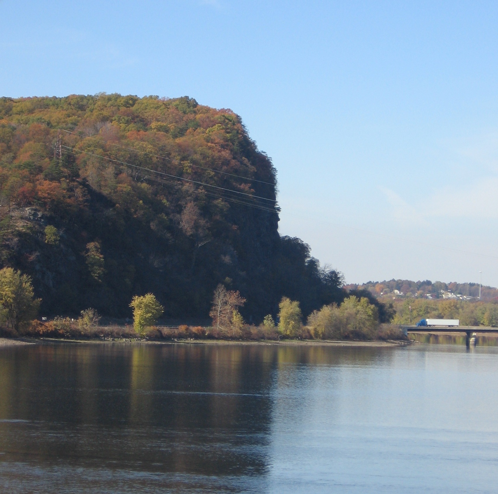
The Bottom Path |
|||
Located opposite both Sunbury and Northumberland, the Bottom Path laid at the base of Blue Hill, traveling beneath what is now known as Shickellamy’s face. It extended from Sunbury (then known as Shamokin) to Winfield. |
|
||
|
|
||
. |
||
|


The Bucknell Environmental Center ▪ 835 Fraternity Road ▪ Bucknell University ▪ Lewisburg ▪ PA 17837▪ (570) 577-1490