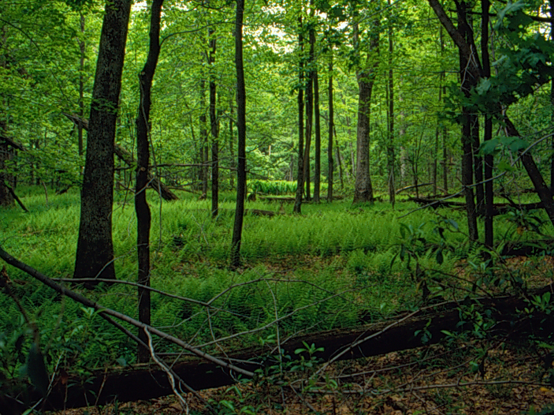
The 154-ha Mohn Mill area (41°4N, 77°8W) is located on the border of Pennsylvanias Bald Eagle and Tiadaghton State Forests as it straddles the boundary of Union and Lycoming counties at their intersection with Clinton county. Elevations in the Mohn Mill area range from approximately 420 to 570 m above mean sea level with bottomlands and gently sloping to steep slopes. The sandstone-derived soils of the Mohn Mill area include loams, sandy loams, and stony to very stony loams. The Mohn Mill area has experienced many natural disturbances during recent decades including canopy-damaging windstorms as well as ice and wet snow events (W. G. Abrahamson personal observation). In addition, chestnut blight occurred in the region during the 1930s, eliminating chestnut from forest canopies in Pennsylvania and elsewhere. Gypsy moth outbreaks occurred within the Mohn Mill site from 1979 to 1982 and again during of 1996. The site was logged over 90 years ago between 1904 and 1912 during the period identified as the clear-cut or hemlock-chemical wood era (Abrams and Ruffner 1995). Currently, there is evidence of considerable browsing by white-tailed deer, which likely inhibits the regeneration of oaks. The Mohn Mill area is a Pennsylvania Department of Conservation and Natural Resources (DCNR) proposed wild plant sanctuary primarily because of the presence of the federally endangered northeastern bulrush (Scirpus ancistrochaetus Schuyler). The small, seasonal ponds that harbor the northeastern bulrush occur within an oak-canopied forest matrix that is likely crucial to the long-term survival of this plant. As a proposed wild plant sanctuary, the Mohn Mill site is protected from logging. A recent study of the successional trends at Mohn Mill showed that the site is experiencing a replacement of oaks by more shade-tolerant maples (Abrahamson and Gohn 2004).
Area: 300m by 250m = 75,000 sq. m or 7.50 ha
Quadrat: 10m by 10m = 100 sq. m
Photograph by Warren Abrahamson