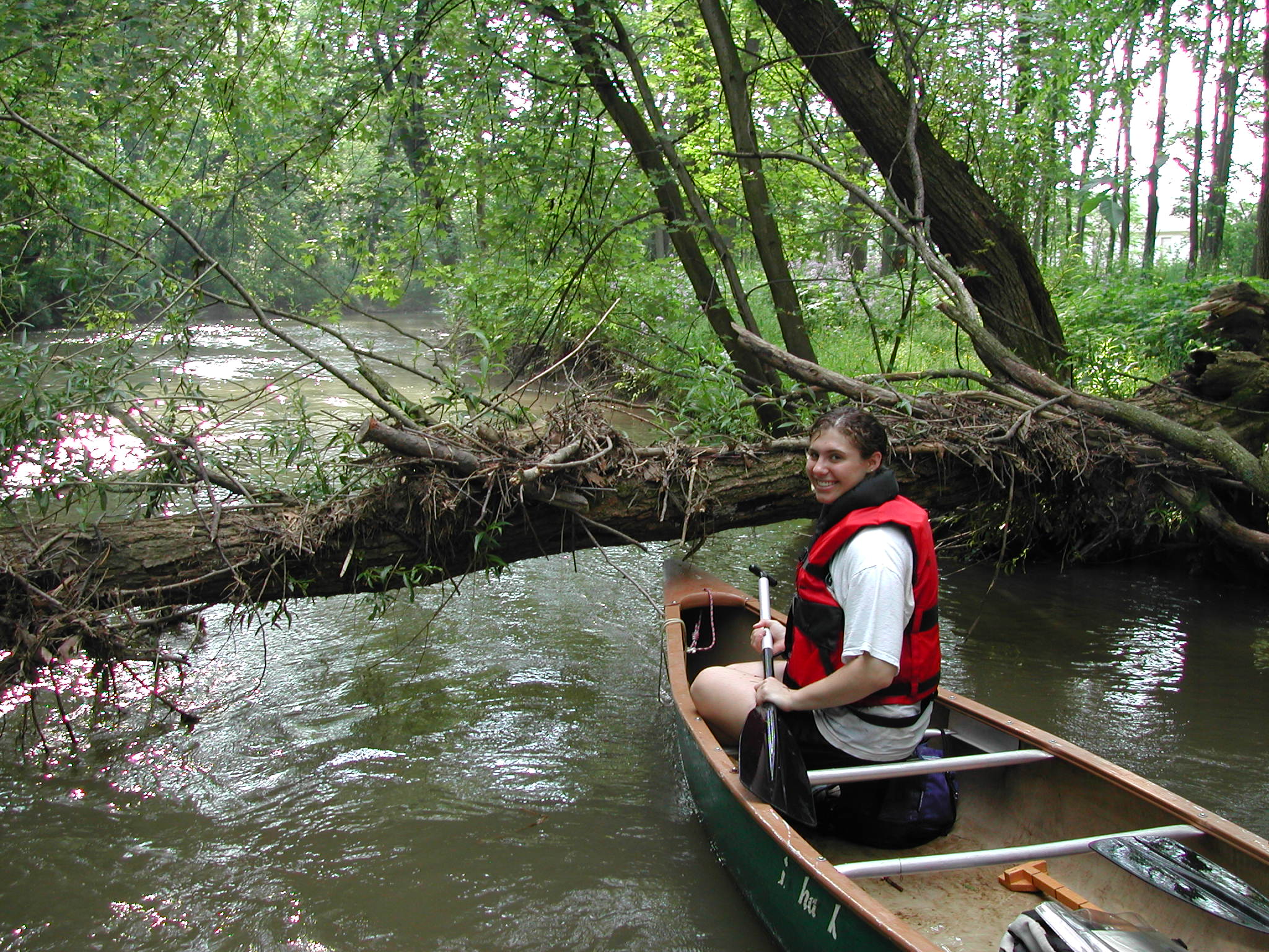
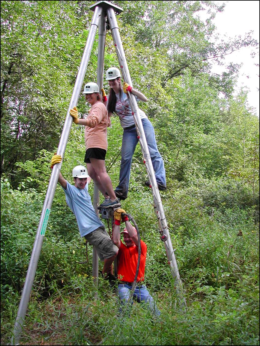
Studies of Buffalo Creek have been performed through a long term partnership between the Bucknell Geology Department, Bucknell University Environmental Center, and Buffalo Creek Watershed Alliance. This study began in 2002 and is still in progress. (click on photos to enlarge)
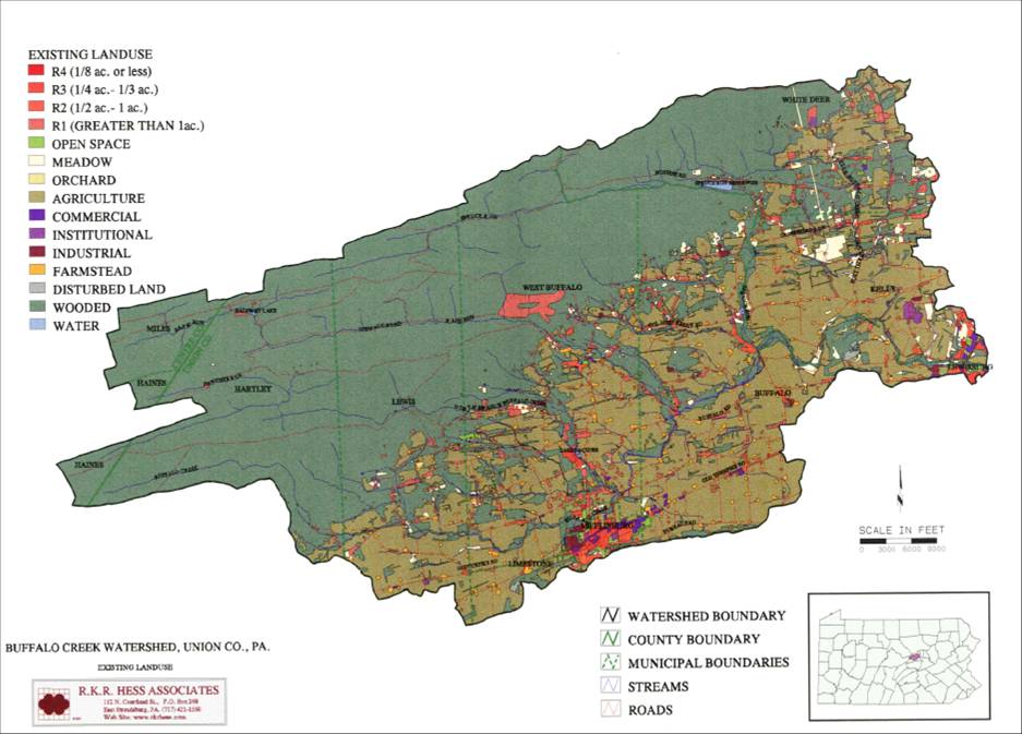
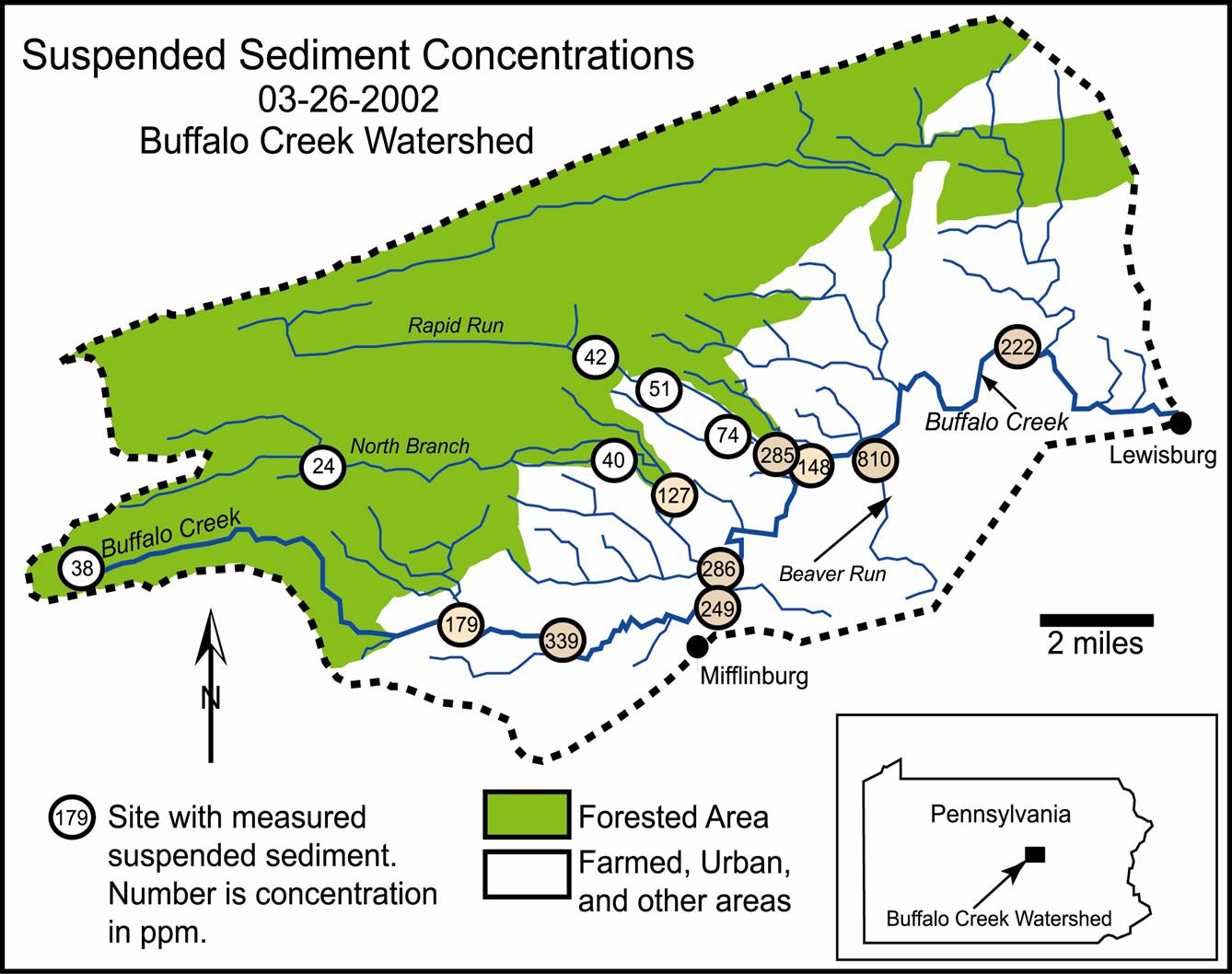
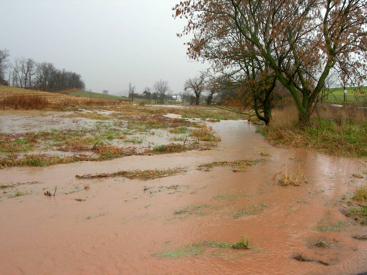
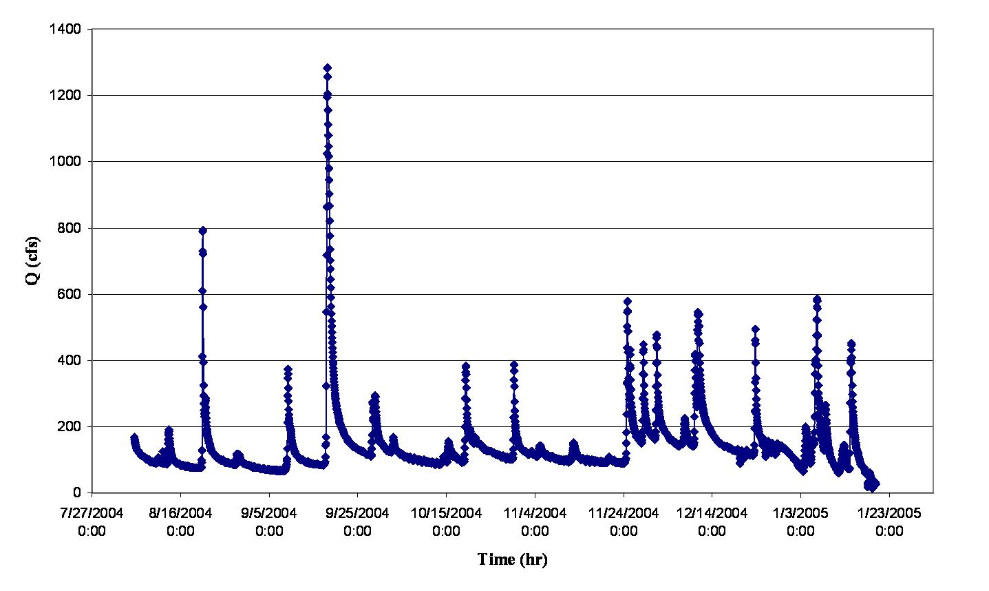
(left) Land Use map of Buffalo Creek Watershed. Much of the watershed is forested (upper 60%) while the lower part is farmland, light density rural, and includes the small towns of Mifflinburg and part of Lewisburg. (right) Suspended sediment concentrations for the 17 monitoring sites for a storm in March 2002. Note the sediment-free discharges from the forest (shown in green) and how sediment loads rapidly increase downstream as more farmland and residential areas contribute. This pattern is typical of storm events.
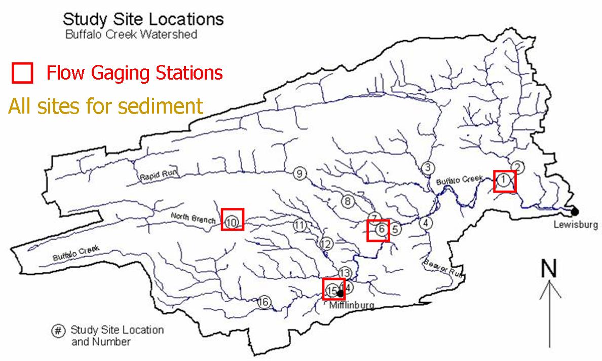
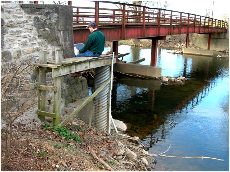
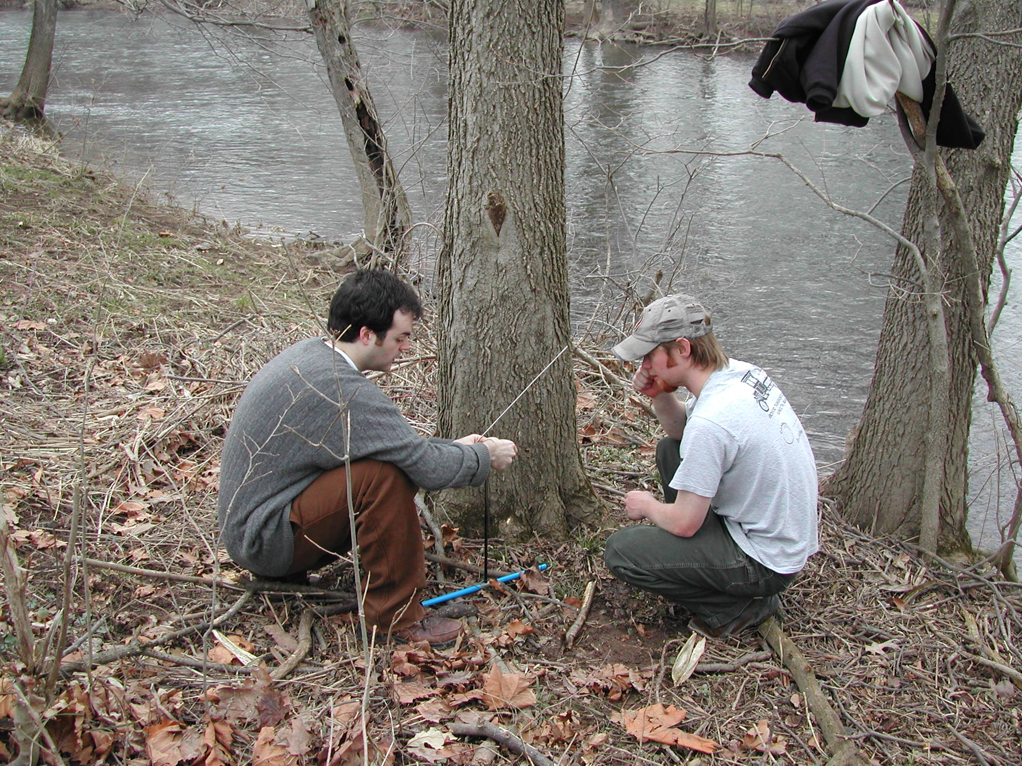
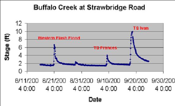
(left) Locations of the four flow (discharge) gaging stations in Buffalo Creek (shown by boxes). Two gages are on the mainstream (station 1 - Strawbridge Road downstream and station 15 - 4th Street in Mifflinburg). One gage is on Rapid Run tributary at Cowan (6) and the other on North Branch Buffalo Creek in Bald Eagle State Forest (10). (right) Brad Jordan (Geology) downloading stage data from gage 1 at Strawbridge Road.
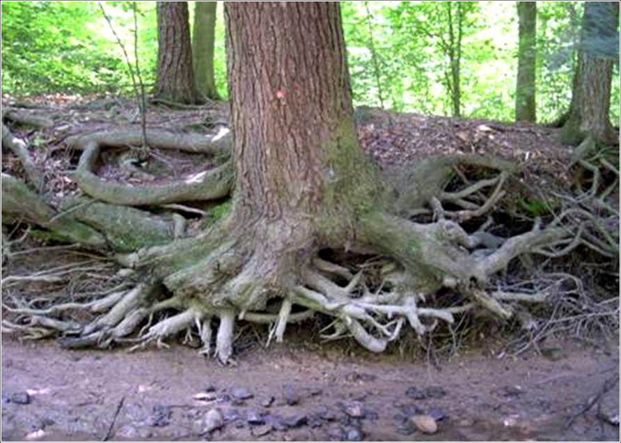
sediment station---
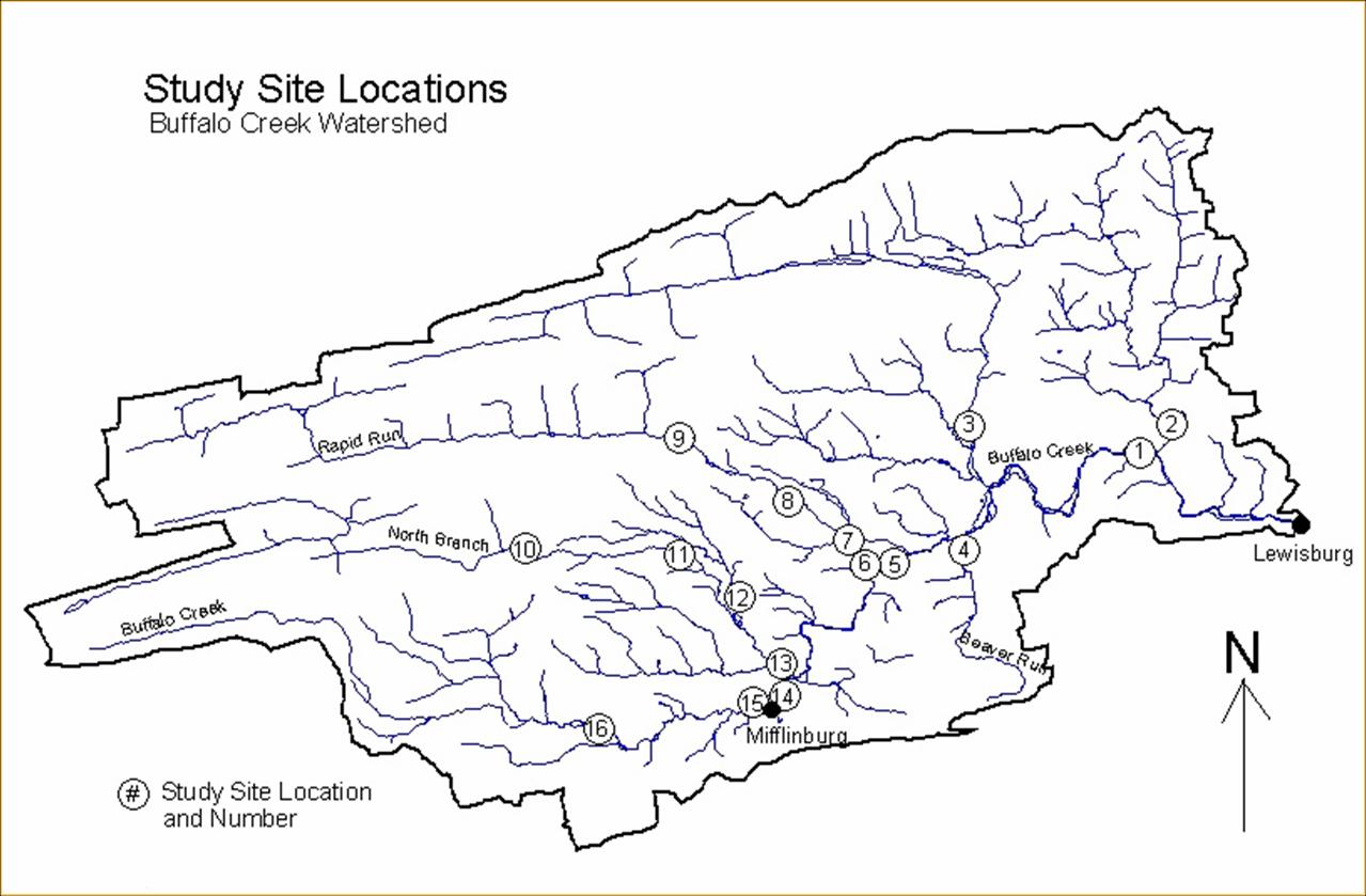
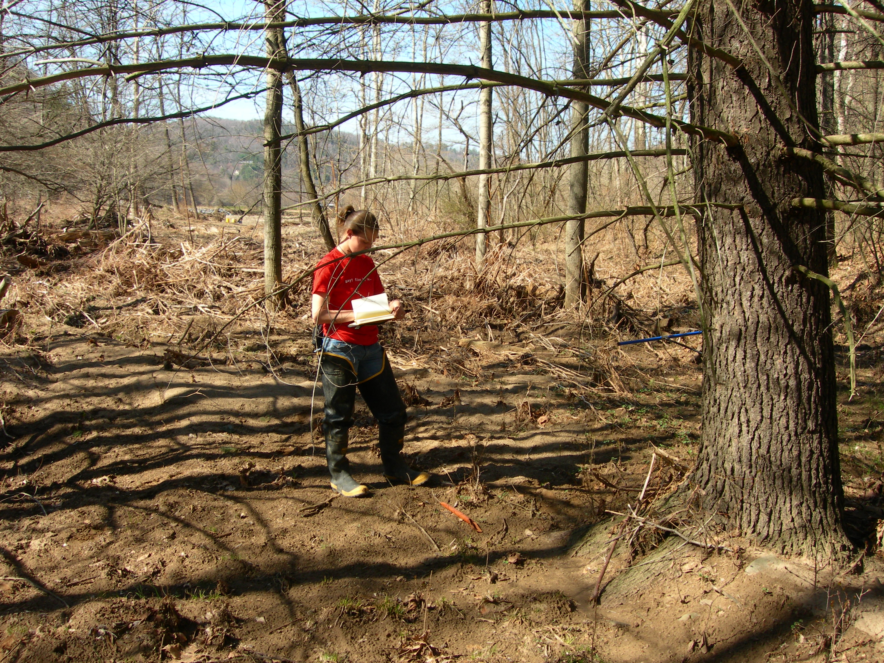
(left) sediment station ---. (right) Locations of the 17 sites where suspended sediment samples are collected occasionally during storm runoff events. Four of these sites are the same as the gaging station.
Ritter House • 835 Fraternity Road • Bucknell University • Lewisburg, PA 17837 • (570)577–1490
This initiative is funded in large part by a grant from the Henry Luce Foundation.